Public Lands

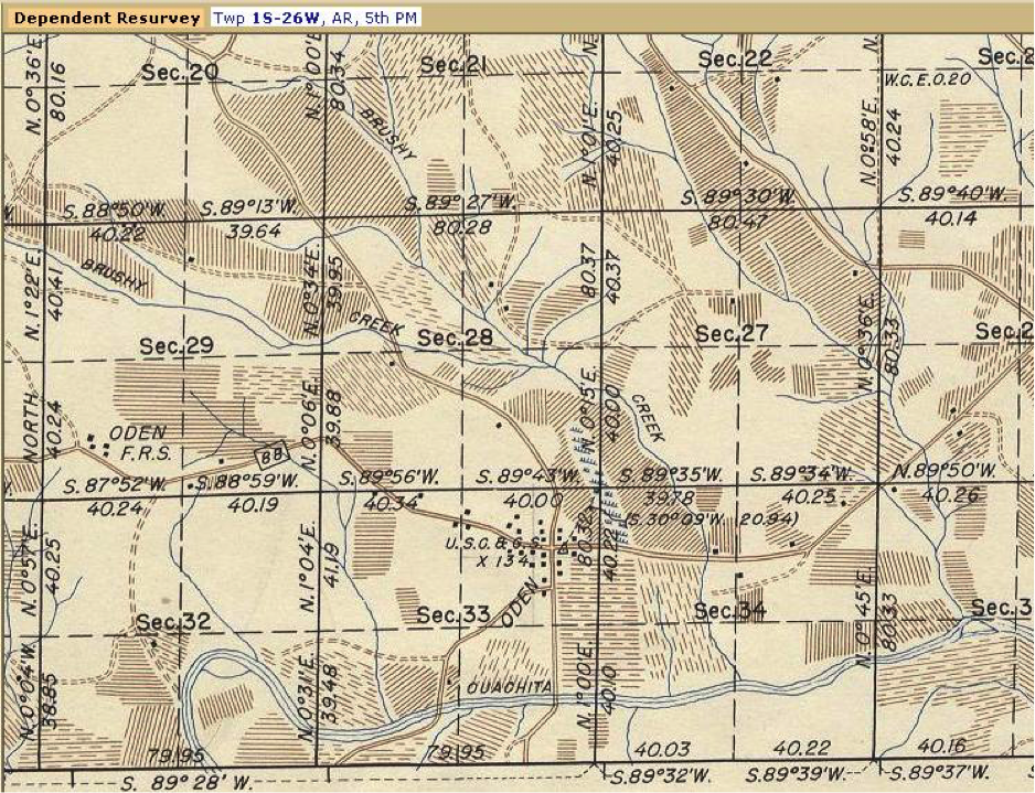
Some assert that the Public Land Survey System, PLSS, is a coordinate system. Others strongly maintain that it is certainly not. Suffice it to say that for more than 200 years it has been, and continues to be, a system to divide land and describe property across most of the United States
The system has always been adaptable. It had to be. It needed to be able to apply to a variety of conditions on the land and be capable of changing with the times. It also needed to be as unambiguous as possible to prevent misunderstandings and boundary disputes. It has achieved these goals remarkably well.
The Public Land Surveying System is a huge subject. The small portion of it that will be presented here is intended to offer just a basic understanding of a few elements of the topic. Even though the application of the system can be complex, the design has always been straightforward and practical. And it is that design, as currently practiced, that will be the emphasis here.
General Inquiry
If you're looking to book Dr. Van Sickle for a seminar, or any other inquiry, please fill out the form below, and your inquiry will be answered promptly.