LiDAR, IMU, GNSS and Cameras in Terrestrial Mobile Mapping Systems (MMS)

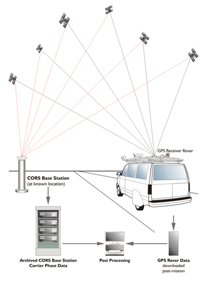
In a sense the mobile mapping vehicle is a robot that relies on sensors to detect the world. Like your ears, eyes and nose each of its sensors has its specialty. For example, Global Navigation Satellite System (GNSS) receivers contribute good absolute positions in unobstructed environments, not so good in obstructed ones. Inertial Measurement Unit (IMU) positions may have a tendency to wander, but they are unaffected by obstruction. LiDAR is an active sensor whose broadcasted signals are reflected by objects in the vicinity, captured and analyze to produce a cloud of points in the correct relative position with respect to one another. Each has some strengths and some weaknesses which can be balanced if their data are properly combined.
General Inquiry
If you're looking to book Dr. Van Sickle for a seminar, or any other inquiry, please fill out the form below, and your inquiry will be answered promptly.