I led the team that collected, processed and reported control positions for more than 120 cities around the world for the ortho-rectification of satellite imagery now utilized in a global web utility.
Maxar City Sphere
Case Studies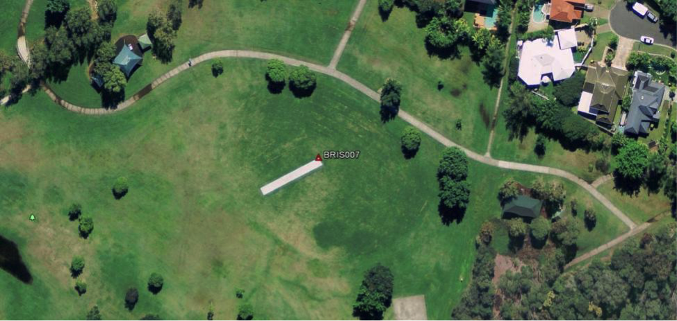
I led the team that collected, processed and reported control positions for more than 120 cities around the world for the ortho-rectification of satellite imagery now utilized in a global web utility.